

Plan your next walk
Weather can help you see and reach shed antlers. It cannot tell you when a specific buck dropped them.
NOAA modeled snow: Loading regional analysis…
Ground cover is your observation. It is not a NOAA measurement and won't be reused for another region. Check the latest NOAA snow analysis before selecting a category.
Checking conditions…
Awaiting forecastLive forecast will appear here when available.
Seven days, side by side
The bars show temperature range, not antler-drop probability. Select a day to see its forecast.
Loading forecast…
A thaw does not prove exposed antlers: rain, new snow, shade and local snowpack can change actual ground visibility.
Did the snow actually retreat?
Fourteen completed days of regional modeled snow depth. This is a different source from NOAA's latest analysis, and neither is your field's snow measurement.
Loading the recent snow-depth model series…
Awaiting snow model history…
Read the pattern, not just the temperature: one warmer day may not expose the ground. Repeated near-zero model readings indicate a potentially more persistent window, but shaded cover and recent snowfall can differ. Model source: Open-Meteo. NOAA current snow analysis is checked separately. No antler dropping or access is predicted.
Explore the region
Select a regional forecast point on this first-party map. Markers are weather sampling locations, not deer concentrations or guaranteed public-access sites.
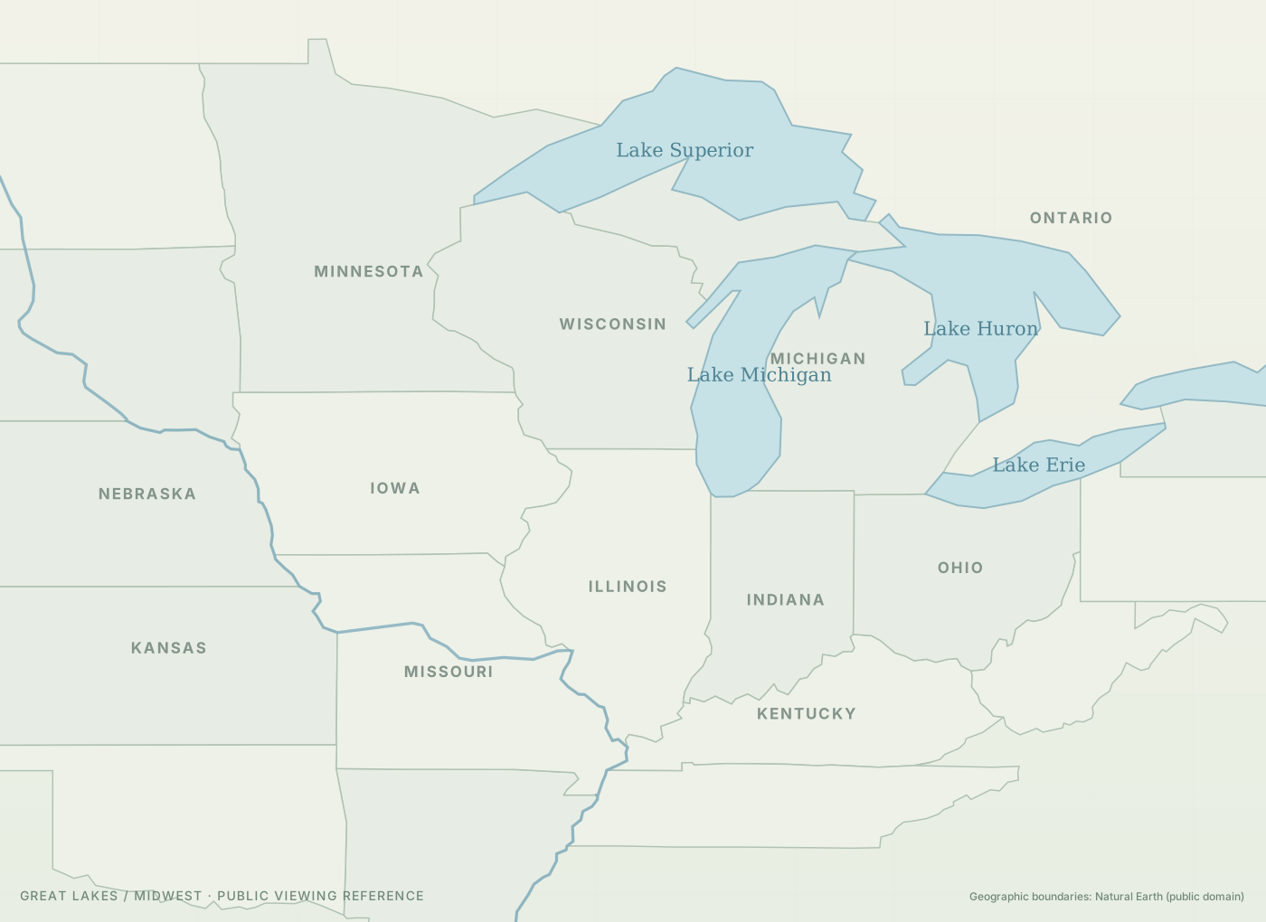
Natural Earth geographic outlines, public domain · first-party map, no map tiles, token or API key.
Check what's covering the ground
NOAA National Snow Analyses provides a gridded indication of existing snow at the selected regional forecast point. The National Weather Service hourly forecast describes upcoming weather. Local ground observations always override a modeled regional point.
Open current NOAA snow-depth map ↗
NOAA modeled snow depth may differ from shaded timber, plowed edges and individual fields. Inspect conditions locally.
Loading regions…
Real public trails to inspect before a walk
These are examples of publicly described walking routes, not identified places to find sheds. Public walking permission does not establish permission to collect antlers. Ask the land manager about collecting, closures and winter wildlife protections. Forecast weather never counts as a shed sighting.
The list changes with your regional forecast selection. Unchecked regions get no fabricated destination; use the Michigan DNR official places directory and confirm the specific property's regulations.
How to pick a productive walk
A practical guide to search visibility—not a map of where bucks shed.
Let the ground reveal itself
Search when ground is bare or patchy. A fresh blanket of snow hides older sheds; shallow snow can still reveal dark beams in some light.
Walk legal edges and transitions
On permitted lands, study field and timber edges, old trails and crossings without entering active winter deer refuge areas. Get landowner permission for private property.
Leave deer undisturbed
Deep snow and late-winter energy stress make pushing deer costly. Avoid bedding and concentration cover, especially in the Upper Peninsula. Waiting is often the better trip decision.
Field safety and access: Check property rules, seasonal closures, hunting activity, ice hazards and local conditions before traveling. Do not trespass or pursue deer. The forecast locations are representative points, not shed sites.
What this tool can—and can't—tell you
Can snow or a cold front predict when deer drop antlers?
No. Antler casting has biological and individual variation. This tool considers broad seasonal context only, while the seven-day weather outlook helps choose when existing sheds may be easier to see.
Is there a perfect day to go?
No guaranteed day. A few days of exposure can help, but new snow may cover antlers again. Terrain, access, deer disturbance and the quality of local snow information matter.
Why doesn't the tool show exactly where to search?
It does not track individual bucks or promote winter concentration locations. A regional forecast pin is not a marked public hunting area. Get site-specific permission and check area regulations.
What's the difference between snow depth and new snowfall?
Snow depth is snow already covering the ground. New snowfall is snow added by a storm. Weather forecasts alone do not accurately reconstruct snow depth. Check NOAA analysis or your own observations.